New free deforestation checker now available for Brazilian soy buyers
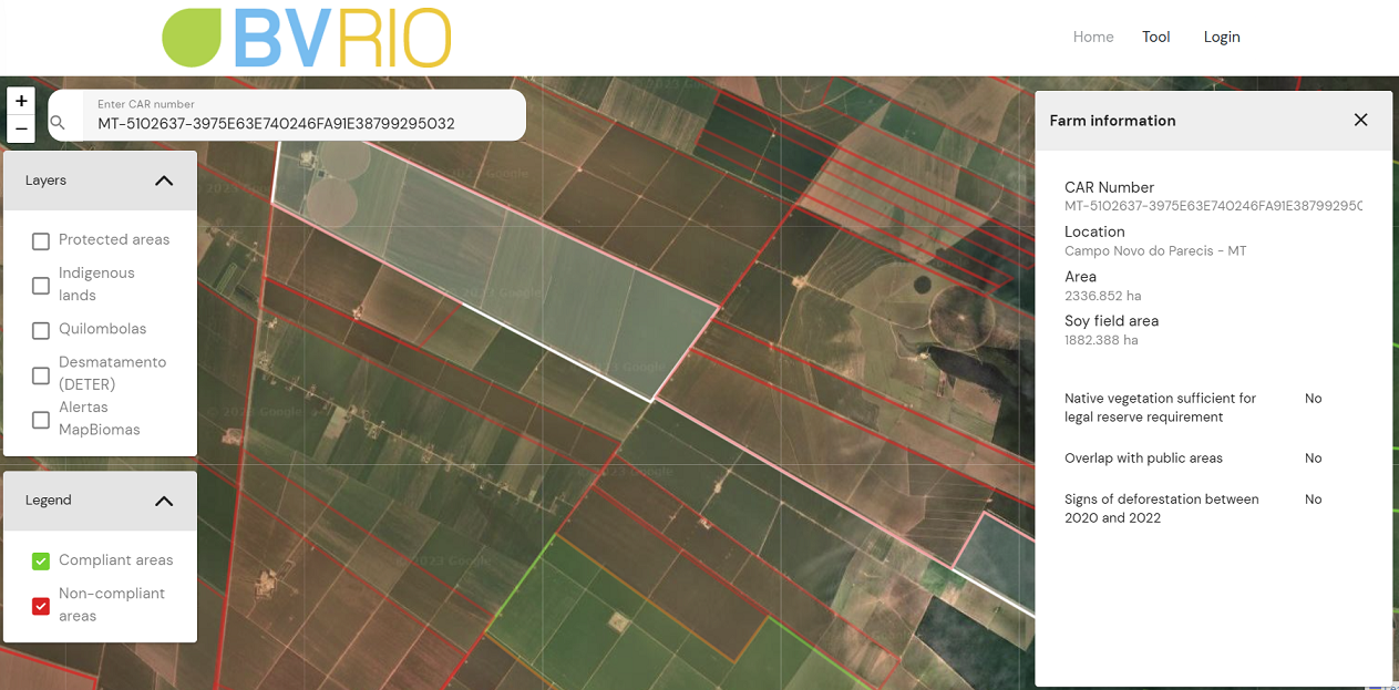
Developed by Brazil based green finance experts, BVRio, the tool covers over 92,000 farms (an area of over 61 million hectares) and with only a farm CAR Number, users can quickly and easily see if there are any deforestation indicators associated with farms in their supply chain.
BVRio director, Grace Blackham leads the project, which is funded by the Waterloo Foundation. “There is a wealth of publicly available and trusted data on land use change in Brazil, but there wasn’t an easy way to navigate it and trace soy production back to individual farms. Building on our experience in creating our Brazilian Timber Due Diligence system and driven by the increasing demand for agricultural commodity traceability due to regulation tightening, we created this new soy production map and tool.”
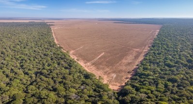
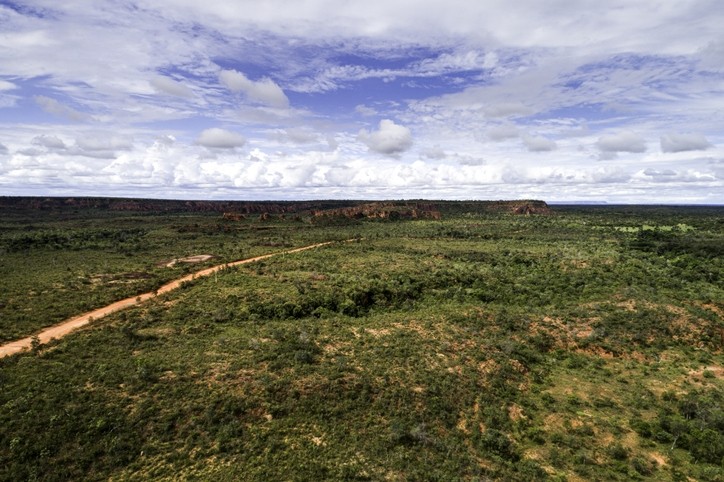
According to trase.earth, based on 2020 data, an estimated 52.4 million tons of soy is produced annually in the Cerrado, 43% of Brazil’s total production.
The tool quantifies and spatializes datasets available from public sources and provides alerts related to legal issues. However, it does not provide legality analysis or legality certification.
It uses farm location data from the Rural Environmental Registry (Cadastro Ambiental Rural in Portuguese) known as the CAR in Brazil. All rural properties must be registered with the CAR. However, the data is self-declared and is not evidence of landownership.
Soy producers can access the free tool to provide data to their buyers, to show that they have not cleared native vegetation after the cut-off date of December 31, 2020. And buyers can verify farms in that respect as well, said BVRio.
The tool does not require a log-in or registration to use. BVRio said it is set to include additional checks and data to the tool later this year.
The new EU Deforestation Regulation (EUDR) will soon require that commodities such as soy are not placed or made available on the EU market, or exported from the EU, unless they are deforestation-free after a cut-off date of December 31, 2020, and have been produced in accordance with the relevant legislation of the country of production.
While the regulation initially only includes forests, thereby excluding much of the Cerrado, it is widely expected that ‘other forested land’ will be included in the first update, and that this will bring the Cerrado under the regulation. Commodities will need to be traced from the farm they are produced on using polygons with sufficient latitude and longitude points to describe the perimeter of the area.